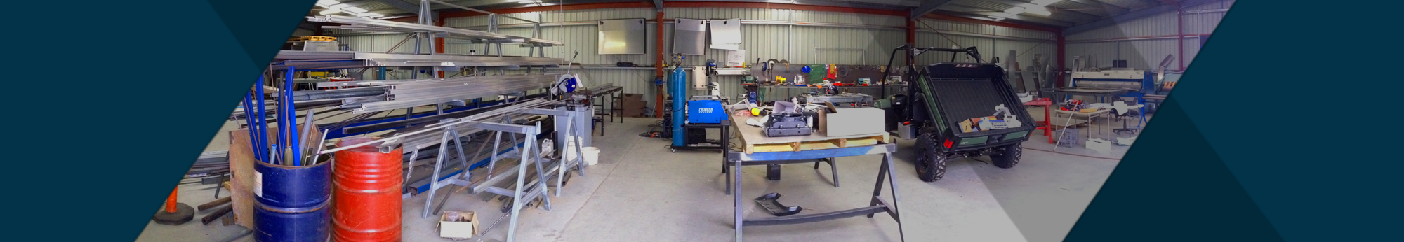
Our Services
Daishsat specializes in conducting high quality gravity surveys for clients in the mining, exploration, and environmental industries. The company can offer a range of positioning and surveying solutions to compliment the gravity data acquisition. The company own and operate Scintrex CG-5 (Micrograv) gravity meters and the latest GPS surveying equipment. The company can complete the planning, acquisition, processing and interpretation of gravity surveys using a variety of techniques in all types of terrain.
Gravity surveys have been carried out to estimate mass distributions within the earth for over 100 years. The real limiting factor in the widespread utilisation of the method was that each gravity station's level must be surveyed accurately. Most of the common gravity meters in use can obtain the gravity readings to a resolution of 0.01 mGal, which equates to a required resolution in height of 3cm. Previously, this level of precision was only obtainable by conventional spirit levelling. This made it expensive and time consuming and only utilised on small-scale detail surveys. On regional surveys, barometers (1-5m height accuracy) were used in Australia for many years while Inertial Navigation Systems (INS) have also been utilised on occasions.
GPS has revolutionized the positioning and navigation industries around the globe and made 5cm positions and levels easily and reliably obtained for gravity surveys. This has lowered the cost of acquisition and greatly increased the utilisation of gravity as an exploration and evaluation tool.
Gravity Survey Uses
Geological Mapping - Used on a regional scale for mapping the subsurface geology
Petroleum Exploration - Used on a regional scale for mapping sedimentary basins
Coal Exploration - Mapping of coal beds within sedimentary basins
Mineral Exploration - Reconnaissance and direct indication of deposits
Geotechnical Studies - Mapping subsurface cavities
Environmental Studies - Mapping of groundwater
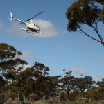
Heliborne Gravity
Heliborne gravity is a cost effective method for large scale regional surveys were vehicle access is impractical or in rugged mountain areas where other types of access would be impossible.
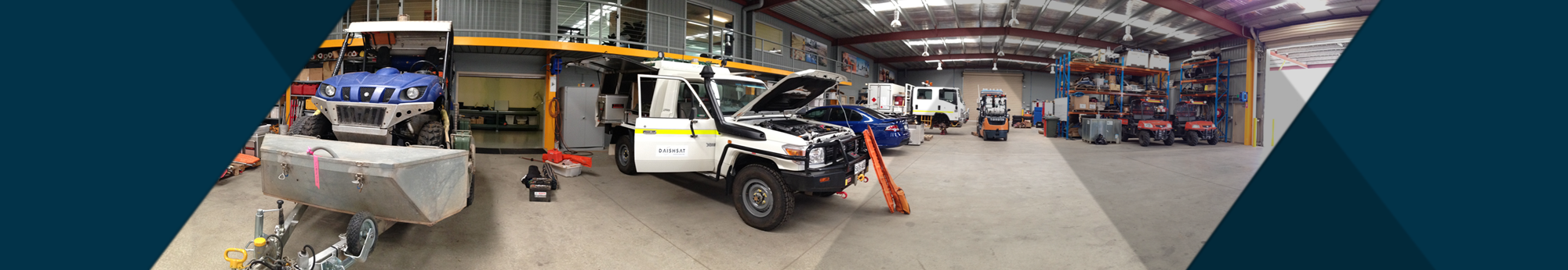
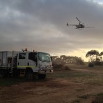
Vehicle-borne Gravity
Regional gravity surveys completed by 4wd vehicles are used where there is good track access or wide open areas that are easily accessed by 4wd.
Detailed and regional Gravity Surveys by ATV
The company has specially modified ATVs that are highly effective in cross country surveying. These ATVs will get to many places that normal 4wd vehicles cannot and are supplemented by specially designed trailers for safe and secure transport of the vehicles between project areas.
Detailed Gravity Surveys by Foot
On surveys where the station spacing is very short, say 10 to 50m, or the terrain is too rugged for vehicles or ATV’s, then the gravity survey can be conducted on foot. This is completed using a two-person crew. For the surveying, the latest Leica GPS receivers are used to provide positions and levels on each gravity station to an accuracy of 20mm or better.
Microgravity
In microgravity, the station spacing is very short, say 1 to 2 meters. In these surveys both the gravity and levelling must be rigorously surveyed. The company use a combination of RTK GPS and traditional conventional surveying equipment to survey the levels of all gravity stations to better than 5mm. Daishsat owns and operates the Scintrex CG-5, a gravity meter specially designed for microgravity surveys. It has a reading resolution of 0.001 mGal and a standard deviation in field use of 0.01 mGal. Special field techniques must be utilised to reliably obtain this level of accuracy.
Helimag and radiometric surveys
The company offer high precision and very cost effective helimag and radiometric surveys through its sister organisation - Aerosystems. For more information see
www.aerosystems.com.au
Processing and imaging
The company offer processing and imaging services for all potential field and GPS datasets. Along with processing the data collected by our own surveyors we are able to process and integrate previous gravity surveys into homogeneous datasets for our clients.